Public Transit
The backbone of Calgary’s transit system is the C-Train, a light-rail train system that runs NW to SE and SW to NE. Best of all, the downtown core is a Free Fare Zone, allowing passengers to travel between hotels, restaurants and events free of charge. The University of Calgary, Southern Alberta Institute of Technology and Stampede Park are some of the major stops outside the city centre.
Car Rentals
Rental cars are available in a variety of sizes and for any duration you wish in Calgary. Rental offices are located throughout Calgary, with a cluster of car rental desks at YYC Calgary International Airport and throughout downtown Calgary.
Taxi & Ride Sharing
Taxis charge a base rate of $3.80 and an additional surcharge at the airport. Most services have online and mobile booking apps.
Limousines and luxury sedans are a great way to begin your stay in Calgary. Limousines and sedans are available for transportation from YYC Calgary International Airport as well as general transportation and special occasions from several organizations in the city.
Ride sharing is a convenient mode of transportation with Uber offering the digital service in Calgary. Download the Uber mobile application to book a ride on the spot from a local driver.
Bike & E-Scooters
Calgary has the most extensive urban pathway and cycle path network in North America, with approximately 850 kilometres of regional pathways and 95 kilometres of trails. Two popular dockless electric scooter sharing programs, Bird and Neuron, are available in Calgary. Users can download either mobile app to locate and rent e-scooters,
Explore Calgary on Foot
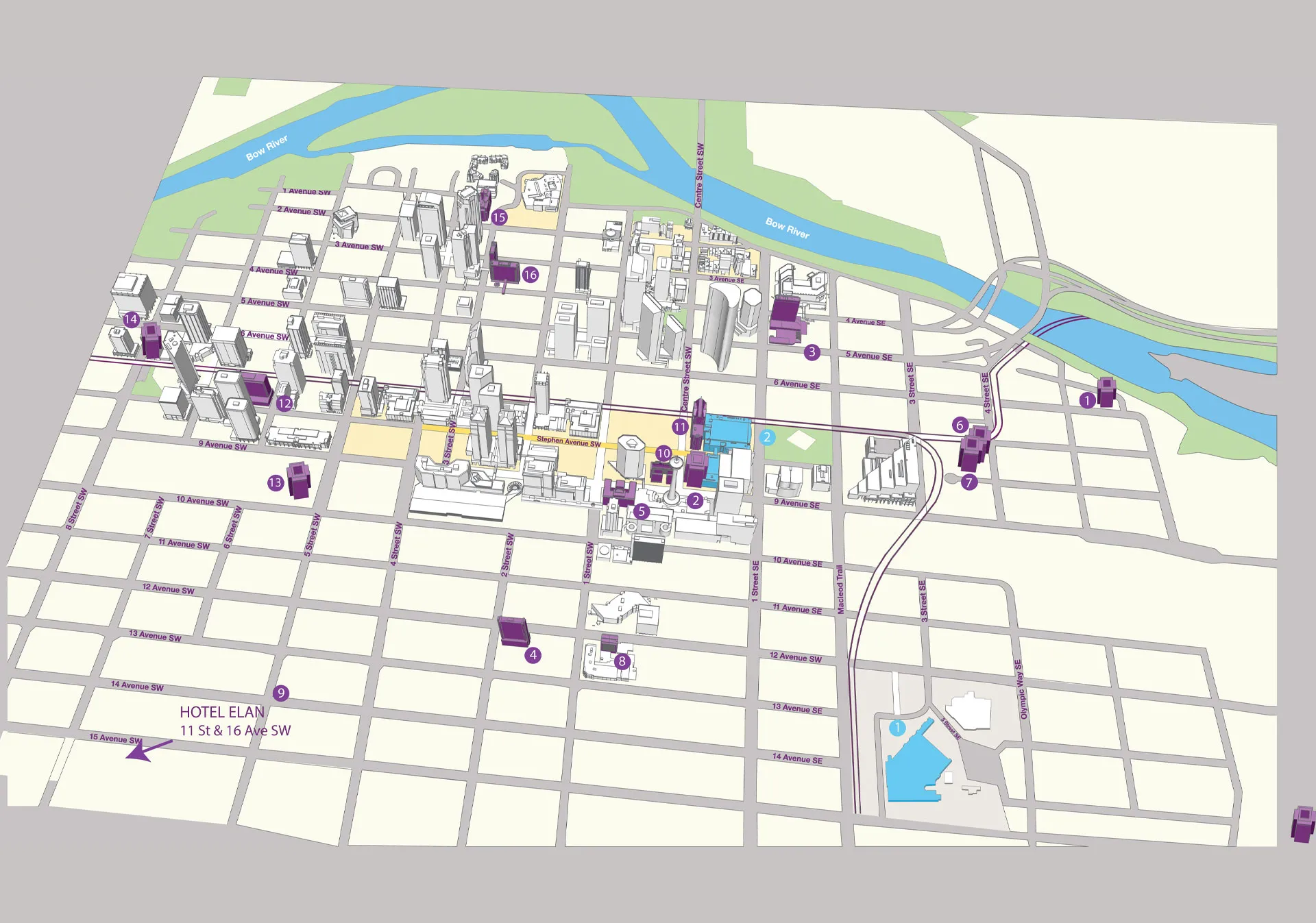
The downtown core is very walkable, with plenty of wayfinding signage to guide you to attractions, restaurants, and public art. Calgary also has the world’s largest elevated, climate-controlled pedestrian pathway — 18 km (11 miles) long, to be exact. The +15 (pronounced Plus 15) links over 100 downtown office buildings and shopping centres. In most buildings, the +15 can be accessed on the second floor — watch for the blue +15 signage.
Check out our helpful guide for exploring Calgary on foot.
Accessibility
Calgary is an accessible destination with services and infrastructure available so everyone can safely and comfortably explore the city.


